|
|
||||
|
|
||||
|
Akbel |
||||
|
For cave maps and drawings please click on the picture... |
For photographs please click on the photo... |
|||
|
 |
|||
|
Type: |
Horizontal Cave | |||
|
Altitude: |
350 m | |||
|
Depth: |
-11.5 m | |||
|
Length: |
24 m | |||
|
Region: |
Mediterranean | |||
|
Province: |
Antalya | |||
|
District: |
Kas | |||
|
Village: |
Islamlar | |||
|
|
||||
 |
||||
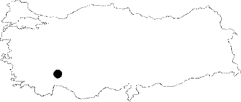
| Location: To the north of Kalkan; it is located at Akbel Mevkii; where the Kas-Kalkan-Fethiye motorway passes by. It can be reached after a 5-minute walk from the junction of Akbel towards the skirts of the Kisladagi Mountain. The entrance has been closed by rocks by the owner of the field. |
| Structural Properties and formation : It drops into a 3 m deep shaft. It continues northeastward; becoming narrower; and the final section ceases being almost completely narrowed. The floor is covered by blocks and rock blocks. In the final zone; it is adorned with small stalactites and dripstone decorations on the wall. It is a dry cave. |
| Research History: It was explored by MTA; and published in 1991. |
| Findings: In the entrance and final zones; scorpions were seen. |