|
|
||||
|
|
||||
|
Akçabel |
||||
|
For cave maps and drawings please click on the picture... |
For photographs please click on the photo... |
|||
|
 |
|||
|
Type: |
Cave | |||
|
Altitude: |
660 m | |||
|
Depth: |
-46 m | |||
|
Length: |
52 m | |||
|
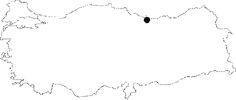
Region: |
Black Sea | |||
|
Province: |
Ordu | |||
|
District: |
Gürgentepe | |||
|
Village: |
Eskiköy | |||
|
|
||||
 |
||||
| Location: It is located near Eskiköy which is 10 km northeast of Gürgentepe District; and approximately 40 km southwest of Ordu; alongside Degirmendere; and Çataltepe Caves. The caves are at a region where the land is deeply divided by Ilica Stream (Yavas Stream) and its branches. |
| Structural Properties and formation : Akçabel; Degirmendere; and Çataltepe Caves which are in the same region; were developed within the limestones lying between the impermeable rocks. Akçabel Cave was developed underneath the Pliocene denudational surface between Kizillik Stream and Degirmen Stream at the starting point of the springs of Sahsene Stream. The entrance of the cave is a 45 m deep pit. This steep descent reaches a room filled with blocks and debris; then expands towards the NW direction. Dripstones were developed on the walls; and stalagmites under the ceiling of the room which has a 2-6 m high ceiling. It was formed as a sinkhole; currently it is completely a fossil cave. |
| Research History: It was researched by the Karst and Cave Researches Unit; Office of Geological Studies; of MTA General Directorate; and publshed in 2004. |
| Findings: |