|
|
||||
|
|
||||
|
Akdag Düdeni 1 |
||||
|
For cave maps and drawings please click on the picture... |
For photographs please click on the photo... |
|||
|
 |
|||
|
Type: |
Vertical Cave | |||
|
Altitude: |
1570 m | |||
|
Depth: |
-92 m | |||
|
Length: |
30 m | |||
|
Region: |
Mediterranean | |||
|
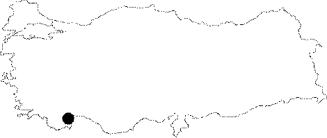
Province: |
Antalya | |||
|
District: |
Manavgat | |||
|
Village: |
||||
|
|
||||
 |
||||
| It is situated within the Akdag Lapies. The cave is in a 2.5 hour walking distance from the Giren Creek. It was stated that there is a balcony filled with snow at the entrance and the snow was accumulated at this point. The shepherds supply their water needs from there. The bottom is completely filled with snow. It was explored and mapped by C. Chabert. |
| Location: |
| Structural Properties and formation : |
| Research History: Haritası çizilmiştir. (Metin klasör) |
| Findings: |