|
|
||||
|
|
||||
|
Aksamgünesi |
||||
|
For cave maps and drawings please click on the picture... |
For photographs please click on the photo... |
|||
|
 |
|||
|
Type: |
Cave | |||
|
Altitude: |
m | |||
|
Depth: |
-12 m | |||
|
Length: |
80 m | |||
|
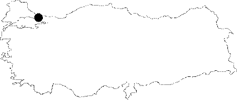
Region: |
Marmara | |||
|
Province: |
Istanbul | |||
|
District: |
Sile | |||
|
Village: |
Merkez | |||
|
|
||||
 |
||||
| Location: It is located at Papazburnu Mevkii; renamed as Harmankaya Burnu; 700 m west-northwest of Sile. The Beacon of Sile stands on the cliff where the entrance of the cave is located. The cave is also called Pavli. |
| Structural Properties and formation : It is a cave opened within marl-sandstone shales in Ypresian forming in the Sile olistostrome. The northerly-sector winds; west-east directed north stream and particularly devastating waves played a major role in its geological formation. Cave with a lenght of 80m is the longest sea cave of Sile. The mouth of the cave is 20m in width and large hall in first 50m of distance exposes to the effect of Black Sea. In last 30m of distance of cave there is a semi-liminous of back hall after sandy beach. In the last part of cave, there are few depression limestone blocks in Upper Cretaceous within Ypresian formation. No staclatites were encountered. Hydrology: It is an active watery cave. |
| Research History: In 1984 Aygen, T. claimed that 75x35m of the cave is one of the sea caves in Sile; has an old named of "Pavli"; but in recent times the name of "Aksam Gunesi" (Evening Sun) to be given due to the rays of light shining inside the cave during sunset [Erdem 1995:26]. The cave was firstly mapped by Ertek and his team. |
| Findings: Though cave to be utilised by seals until 1970's, in present there seen only seagulls and spiders. |