|
|
||||
|
|
||||
|
Aritasi |
||||
|
For cave maps and drawings please click on the picture... |
For photographs please click on the photo... |
|||
|
 |
|||
|
Type: |
Vertical Cave | |||
|
Altitude: |
1260 m | |||
|
Depth: |
-60 m | |||
|
Length: |
80 m | |||
|
Region: |
Mediterranean | |||
|
Province: |
Antalya | |||
|
District: |
Akseki | |||
|
Village: |
Aksahap | |||
|
|
||||
 |
||||
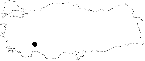
| Location: It is located on a cape to the north of Fatmaolugu Pinari at the Mentese Konaklari Mevkii which lies to the west of Akseki. It lies to the north of a fountain near the Fatmaolugu Pinari at approximately 5th km of the Akseki-Güneykisla-Aksahap dirt road; and located at the base of a doline reached after a half-and-hour climb inside a forest. |
| Structural Properties and formation : The entrance drops into a 15 m steep descent. It is adorned with stalactites; stalagmites; and cave pearls. No active water was found. It draws plenty of water during rainy periods as it is a sinkhole of a doline by location. |
| Research History: It was explored by MTA in 1980. |
| Findings: |