|
|
||||
|
|
||||
|
Arkaca Düden Agzi |
||||
|
For cave maps and drawings please click on the picture... |
For photographs please click on the photo... |
|||
|
 |
|||
|
Type: |
Horizontal Cave | |||
|
Altitude: |
1000 m | |||
|
Depth: |
-213 m | |||
|
Length: |
600 m | |||
|
Region: |
Mediterranean | |||
|
Province: |
Antalya | |||
|
District: |
Akseki | |||
|
Village: |
Bucakalan | |||
|
|
||||
 |
||||
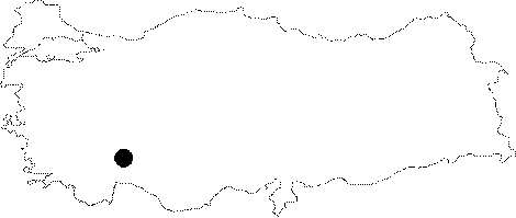
| Location: Also known as Akarca; it is located where water of a polje disappears inside the sown fields near the lapies around Bucakalan. |
| Structural Properties and formation : In the Manavgat 92 report; it has been indicated that a 2 m long siphon is passed 100 m after the entrance. Right after the siphon; a second siphon of 4 m depth and 2 m length is passed into a -213 m deep shaft; and the survey was terminated at that point. The report indicates that there is plenty of water incoming into the sinkhole; and the ceiling is very low. The report also warns that it is very dangerous to enter to the cave without checking out the weather conditions. |
| Research History: It was discovered during the Manavgat 92 study; traversed and mapped. |
| Findings: |