|
|
||||
|
|
||||
|
Armagan 1 |
||||
|
For cave maps and drawings please click on the picture... |
For photographs please click on the photo... |
|||
|
 |
|||
|
Type: |
Vertical Cave | |||
|
Altitude: |
450 m | |||
|
Depth: |
-32 m | |||
|
Length: |
m | |||
|
Region: |
Marmara | |||
|
Province: |
Kirklareli | |||
|
District: |
Dereköy | |||
|
Village: |
Armagan | |||
|
|
||||
 |
||||
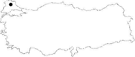
| Location: It is located on the left shore of the lake area of the Armagan Dam in the Dereköy District. |
| Structural Properties and formation : The caves in the vicinity of the Armagan Dam were formed within the local crystallized limestones of the massif and contact zones of rocks with schists. The cave which was formed in the horizontal direction and parallel to the slope inclination of the left shore of the dam is entered through a 1.5 square meter oval mouth. Following a vertical descent is a debris of clay; sand; grit and blocks. The debris which can be passed through by walking is terminated at where narrow and small inclines start. At the end of these descents; the cave gets narrower and ends up with a clean surfaced fracture systems of 10-15 cm apertures. |
| Research History: It was investigated by MAD in November 1995; and mapped to the BCRA 3c standard. |
| Findings: Bats inhabit the cave. |