|
|
||||
|
|
||||
|
Armagan 2 |
||||
|
For cave maps and drawings please click on the picture... |
For photographs please click on the photo... |
|||
|
 |
|||
|
Type: |
Vertical Cave | |||
|
Altitude: |
450 m | |||
|
Depth: |
-14 m | |||
|
Length: |
58 m | |||
|
Region: |
Marmara | |||
|
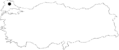
Province: |
Kirklareli | |||
|
District: |
Dereköy | |||
|
Village: |
Armagan | |||
|
|
||||
 |
||||
| Location: It was formed on the upper elevations of the spillway construction of the Armagan Dam in the Dereköy District. |
| Structural Properties and formation : The cave was formed in the horizontal and vertical directions. The main gallery is reached by descending the debris; and this gallery is divided into small horizontal and vertical branches. The vertical branches on the left side of the gallery with respect to the entrance are in a labyrinth form and generally are interconnected. |
| Research History: It was explored by MAD in November 1995; and mapped to the BCRA 3c standard. |
| Findings: |