|
|
||||
|
|
||||
|
Atlilar Magarasi |
||||
|
For cave maps and drawings please click on the picture... |
For photographs please click on the photo... |
|||
|
 |
|||
|
Type: |
Vertical Cave | |||
|
Altitude: |
1450 m | |||
|
Depth: |
-410 m | |||
|
Length: |
1450 m | |||
|
Region: |
Mediterranean | |||
|
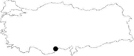
Province: |
Mersin | |||
|
District: |
Merkez | |||
|
Village: |
Atlilar | |||
|
|
||||
 |
||||
| Location: Known as "Cöngelez" by the local people; it is very close to the Atlilar Village. Nearly 300-350 m away from the cave lies a fountain. |
| Structural Properties and formation : The cave has a horizontal route and small descents down to -130 m; from where it starts to get vertical and ends up in a muddy siphon following successive descents. Seasonal water is common. |
| Research History: It was discovered by MAD in July 1996; and its survey had been completed in September 1998; accompanied with a map to the BCRA 3c standard. |
| Findings: |