|
|
||||
|
|
||||
|
Avuçiçi |
||||
|
For cave maps and drawings please click on the picture... |
For photographs please click on the photo... |
|||
|
 |
|||
|
Type: |
Cave | |||
|
Altitude: |
500 m | |||
|
Depth: |
-24 m | |||
|
Length: |
226 m | |||
|
Region: |
Black Sea | |||
|
Province: |
Düzce | |||
|
District: |
Konuralp | |||
|
Village: |
Kabalak | |||
|
|
||||
 |
||||
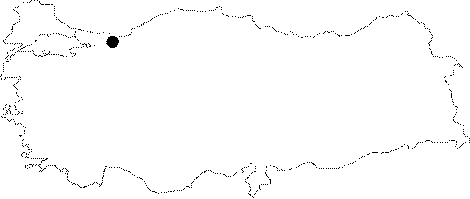
| Location: It is located 2 km from Lazkalabak village which is 15 km from Düzce on the Düzce-Konuralp-Akçakoca highway. The cave is in a plateau type region divided by the stream branches of Kurtsuyu and Yazlik streams which are two important branches of Küçükmelen Brook in the north of Düzce. |
| Structural Properties and formation : The cave is a sinkhole type active cave in NE-SW direction. The cave has two entrances close to each other. It is between 1 and 4 m wide; and the ceiling height is between 0.5 and 3 m. Avuçiçi Cave possesses multi-period shapes and structures. The most apparent ones are sand; clay and pebble storages; and vertical keyhole type profiles. There is water leakage inside the cave through the entrance during precipitation. These waters form a subsurface stream and ponds inside the cave; and leave the cave through the syphon at the endpoint; then become the spring of Yazlik Stream as they surface besides the stream. |
| Research History: It was researched by Geological Studies Department of MTA General Directorate; and published in 2002. |
| Findings: |