|
|
||||
|
|
||||
|
Ayiini |
||||
|
For cave maps and drawings please click on the picture... |
For photographs please click on the photo... |
|||
|
 |
|||
|
Type: |
Cave | |||
|
Altitude: |
1825 m | |||
|
Depth: |
-15 m | |||
|
Length: |
407 m | |||
|
Region: |
Mediterranean | |||
|
Province: |
Isparta | |||
|
District: |
Yalvaç | |||
|
Village: |
Özgüney | |||
|
|
||||
 |
||||
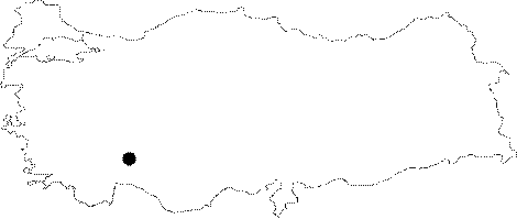
| Location: The Ayiini Cave; which lies 15 km northeast of the Yalvac District; is located on the upper bank of the Nazilli Creek; and southern skirts of the Sultan Mountain range. It is 20-30 m higher from the base of the valley; and it can be reached from two different stabilized roads; one from Yalvac and the other from Ozgüney. |
| Structural Properties and formation : It is a spring type of fossil cave. It has a cold and semi-humid air. Its cracked and two-storey structure allows a remarkable air currency inside the cave. It was formed within the Carboniferous aged limestones. The gallery which is composing the upper branch through the end of the cave is very rich in dripstone decorations. It is a dry cave. |
| Research History: It was explored by MTA. It has been suggested that it was used as a shelter during the Byzantine-Roman Period. It has been reported that it includes 4-5 pieces of bars and cisterns for water storage. |
| Findings: No remarkable forms of life were observed. But; it has been infrequently inhabited by bats in various parts. |