|
|
||||
|
|
||||
|
Baglar |
||||
|
For cave maps and drawings please click on the picture... |
For photographs please click on the photo... |
|||
|
 |
|||
|
Type: |
Horizontal Cave | |||
|
Altitude: |
470 m | |||
|
Depth: |
+10;-12 m | |||
|
Length: |
318 m | |||
|
Region: |
Marmara | |||
|
Province: |
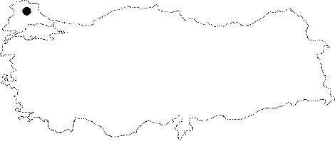
Kirklareli | |||
|
District: |
Vize | |||
|
Village: |
Sergen | |||
|
|
||||
 |
||||
| Location: It is located on the right bank of Kanlidere (Karaman); which is a continuation of the Sogucak or Köy Creeks flowing into the Ergene Basin; near the Ortabaglar Hill; 4 km northwest to the town of Sergen. It can be reached from the Vize-Kücükyayla-Sergen or Pinarhisar-Sogucak-Sergen roads. A path leads near to the cave from the Sergen Village. |
| Structural Properties and formation : In the vicinity of the Baglar Cave; there are granitic gneisses of the Paleosoic age belonging to the Istranca Massif; overlaid by schists including marbles; and to the south underlying Eocene aged sandstones; claystones; limestones and Pliocene aged detritic depositions. Although the Baglar Cave with a width ranging from 0.5 to 4 m and a height ranging from 0.5 to 8 m has three-storey; it has a feature of single phase geological development due to the lesser marble thickness and presence of impermeable granitic gneisses underlying. Probably part of a Pliocene relief system; it became fossilized by means of abandonment. Therefore; there are no or little dripstone decorations. |
| Research History: It was explored and mapped by MTA. |
| Findings: Bağlar Cave is one of the most important underground habitats in the region. The most remarkable forms of life are the bats; which have big colonies and inhabit all over the cave. Also; there is an abundant number of cave flies in the entrance zone. The cave is inhabited by medium size horseshoe bats, Rhinolophus euryale and Rhinolophus blasii, throughout the year. These species use the cave both as a hibernation roost and a nursery. |