|
|
||||
|
|
||||
|
Bahçeköy |
||||
|
For cave maps and drawings please click on the picture... |
For photographs please click on the photo... |
|||
|
 |
|||
|
Type: |
Cave | |||
|
Altitude: |
190 m | |||
|
Depth: |
32 m | |||
|
Length: |
221 m | |||
|
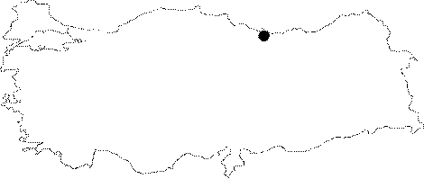
Region: |
Black Sea | |||
|
Province: |
Ordu | |||
|
District: |
Persembe | |||
|
Village: |
Bogazcik | |||
|
|
||||
 |
||||
| Location: It is located in the northwest of Bogazcik Village of Persembe District of Ordu. |
| Structural Properties and formation : The Bahcekoy Cave was developed 190 m above sea line in the north part of Fernik Stream which is a branch of Çaka Stream. The fossil cave which was primarily a spring type then a passage type cave; extends horizontally to parallel the limestones in NE-SW direction. The cave which has a Ğ20 degrees inclined basin; and opens into a round hall 16x13 m; splits into two branches at that hall. The main branch that extends southwestbound consists of wavy; and narrow galleries. The main branch ends with a small room 8x10 m which is located at +32 m from the entrance. On the other hand the branch that splits at the right side of the room is shorter and its end is at +8 m. There is an alcove covered by pebbles and debris where this branch was splitted. The water coming from the main gallery and the branches leave the cave at this alcove and go subsurface. The halls and narrow galleries of the cave are covered by pebbles and debris. Besides a few stalactites and shrouds found in some alcoves and small chambers dripstone accumulation is very poor. |
| Research History: It was researched by Karst and Cave Researches Unit of Geological Studies Department of MTA General Directorate; and published in 2004. |
| Findings: There is a few number of bats at the end of the main gallery. |