|
|
||||
|
|
||||
|
Baliönü |
||||
|
For cave maps and drawings please click on the picture... |
For photographs please click on the photo... |
|||
|
 |
|||
|
Type: |
Cave | |||
|
Altitude: |
140 m | |||
|
Depth: |
+8 m | |||
|
Length: |
91 m | |||
|
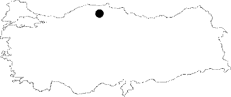
Region: |
Black Sea | |||
|
Province: |
Kastamonu | |||
|
District: |
Cide | |||
|
Village: |
Abdülkadir | |||
|
|
||||
 |
||||
| The cave is located on the wall that overlooks the plain near Dösemetarla Tepe 1 km southwest of Abdülkadir Village between Kurucasile and Cide. Baliönü is a fossil cave. It is on the steep limestone slope west of Akgöynük Polje. There are jurassic and cretaceous reefs piled up in the region. The cave does not contain many formations. It was excavated by MTA in May 2003 against a possible damage from the marble quarry nearby and was preserved after mapping. There were no groups of animals residing in the cave. It is listed in the inventory of registered archaeological sites prepared by Ministry of Culture and Tourism. |
| Location: |
| Structural Properties and formation : |
| Research History: |
| Findings: |