|
|
||||
|
|
||||
|
Bayrakçi 2 |
||||
|
For cave maps and drawings please click on the picture... |
For photographs please click on the photo... |
|||
|
 |
|||
|
Type: |
Cave | |||
|
Altitude: |
70 m | |||
|
Depth: |
-13 m | |||
|
Length: |
36 m | |||
|
Region: |
Aegean | |||
|
Province: |
Izmir | |||
|
District: |
Selçuk | |||
|
Village: |
Bayrakçitepe | |||
|
|
||||
 |
||||
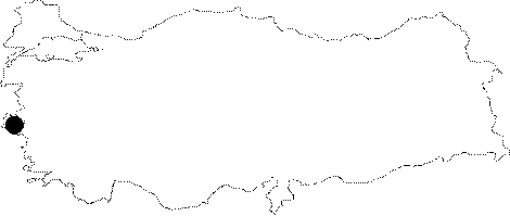
| It lies on the southern slope of the Bayrakci Hill; 2.5 km north of Selcuk. It can be reached by a 15 minute walk from the Selcuk-Izmir motorway. It is a dry cave. It was explored by MTA; and limited number of bats was seen other than millipedes and cave grasshoppers. |
| Location: |
| Structural Properties and formation : |
| Research History: |
| Findings: |