|
|
||||
|
|
||||
|
Buzdeligi |
||||
|
For cave maps and drawings please click on the picture... |
For photographs please click on the photo... |
|||
|
 |
|||
|
Type: |
Horizontal Cave | |||
|
Altitude: |
1345 m | |||
|
Depth: |
-9 m | |||
|
Length: |
52 m | |||
|
Region: |
Central Anatolia | |||
|
Province: |
Konya | |||
|
District: |
Beysehir | |||
|
Village: |
Kurucaova | |||
|
|
||||
 |
||||
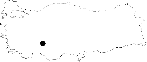
| Location: It is located on a mountainous region on the Kurucaova-Yenisarbademli motorway; to the southwest of the Beysehir Lake. The road from Beysehir to Yesildag is asphalted; but the rest is stabilized. The cave lies to west of the Forest Protection Center. |
| Structural Properties and formation : It is a horizontal cave with small descents. It was formed within the Jura-Cretaceous limestones of the Anamas-Akseki autochthonous sequence; developing in a single hall. There is no or very little decorations inside; however local people informed that ice decorations are seen in spring. The roof height is 3-6 m and the width reaches up to 30 m at some places. The inner temperature of the cave was measured as 9 degrees in September; which is very low compared to the other caves in the vicinity. |
| Research History: It was explored and mapped by MTA in 1992. |
| Findings: |