|
|
||||
|
|
||||
|
Büyük Düden |
||||
|
For cave maps and drawings please click on the picture... |
For photographs please click on the photo... |
|||
|
 |
|||
|
Type: |
Horizontal Cave | |||
|
Altitude: |
1140 m | |||
|
Depth: |
m | |||
|
Length: |
714 m | |||
|
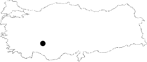
Region: |
Central Anatolia | |||
|
Province: |
Konya | |||
|
District: |
Beysehir | |||
|
Village: |
Derebucak | |||
|
|
||||
 |
||||
| Location: It lies on the western edge of the Kembos Plain at 18th km of the Konya-Beysehir-Derebucak road while driving toward Ibradi. |
| Structural Properties and formation : The Kembos Plain; which is 1 km wide and 15 km long; drains the snowmelt during the spring time and waters gathered by the Uzunsu Creek; together with Büyük Düden (sinkhole) and Feyzullah Düdeni (sinkhole). The water being swallowed by these sinkholes flows into the Manavgat Brook; passing through the Altinbesik Düdensuyu Cave. The Büyük Düden sinkhole; which is 714 m long; has plenty of lakes; giant whirlpools and siphons. There is a 120 m descent until the first muddy siphon; which is 9 m long and 2.5 m deep. Then; it leads to a small hall; following a 60 m long passage. On the southeastern part of the hall; there is a lake and a second siphon; which is 31 m long and 10 m deep. The cave ends up with a 480 m long passage following the siphon [Jager et al. 1989:2]. |
| Research History: It was discovered by T. Aygen in 1966 during the survey carried out for the Oymapinar Dam. And; it was first explored in 1966 by French cavers; Bakalowicz and Danford. It was mapped in 1976 by C. Chabert and J. Vuillemin. There is an article about the cave published in the Yorkshire Ramblers Club Journal. It was thoroughly explored in 1989 during a joint expedition of British and Czechoslovak researchers. |
| Findings: In the cave; a specie called Blind Millipide which have plenty of legs; a very small specie which looks like woodlouse and called Troglobitic isopod; and a specie of fish with protrusive; but blind eyes were found [Basar 1968a:19;25 - Basar 1977:24;27;54]. |