|
|
||||
|
|
||||
|
Cemal Tepe Düdeni |
||||
|
For cave maps and drawings please click on the picture... |
For photographs please click on the photo... |
|||
|
 |
|||
|
Type: |
Vertical Cave | |||
|
Altitude: |
230 m | |||
|
Depth: |
-33 m | |||
|
Length: |
40 m | |||
|
Region: |
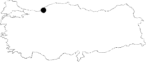
Black Sea | |||
|
Province: |
Zonguldak | |||
|
District: |
Merkez | |||
|
Village: |
Çatalagzi | |||
|
|
||||
 |
||||
| Location: It is located on the western edge of the Cemal Hill; immediate south of Catalagzi. It lies on the Zonguldak-Kilimli-Catalagzi-Cumayani-Ayici road where the road deviating to right leads near to the cave. From there; it takes 15 minutes to walk to the cave. |
| Structural Properties and formation : As a sinkhole of a doline which was formed on a Pliocene denudational surface; it is a shaft cave. The roof height of the hall is 10-22 m; and the width is 5-12 m. A small fault line in the north-south direction; on the eastern edge; was effective in the elongation of the cave. |
| Research History: It was explored and mapped by MTA. |
| Findings: |