|
|
||||
|
|
||||
|
Çambel |
||||
|
For cave maps and drawings please click on the picture... |
For photographs please click on the photo... |
|||
|
 |
|||
|
Type: |
Cave | |||
|
Altitude: |
m | |||
|
Depth: |
-46 m | |||
|
Length: |
91 m | |||
|
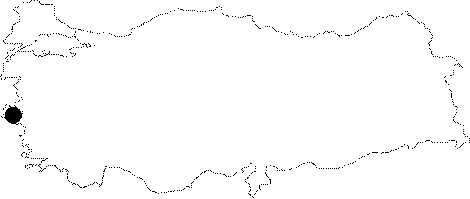
Region: |
Aegean | |||
|
Province: |
Izmir | |||
|
District: |
Kemalpasa | |||
|
Village: |
Çambel | |||
|
|
||||
 |
||||
| It lies 1 km north of the Cambel Village; located on the side of the Spil Mountain facing the Kemalpasa Plain. The Spil Mountain is made of crystallized limestones; and traces of Miocene (Neogene) corrosion can be observed. It was developed on a fault in the northwest-southeast direction. It was explored by the Cave Research Club of the Dokuz Eylül University in 1997-98. |
| Location: |
| Structural Properties and formation : |
| Research History: |
| Findings: |