|
|
||||
|
|
||||
|
Çatalin |
||||
|
For cave maps and drawings please click on the picture... |
For photographs please click on the photo... |
|||
|
 |
|||
|
Type: |
Vertical Cave | |||
|
Altitude: |
m | |||
|
Depth: |
-58 m | |||
|
Length: |
m | |||
|
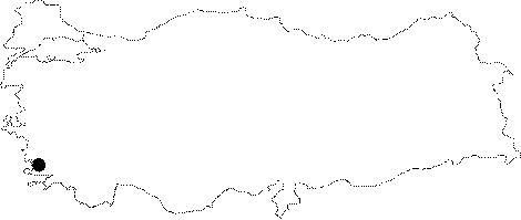
Region: |
Aegean | |||
|
Province: |
Mugla | |||
|
District: |
Kavaklidere | |||
|
Village: |
Karagedik | |||
|
|
||||
 |
||||
| It is close to the summit of a very high mountain to the southwest of the upland houses at Kilinc Mevkii of the Karagedik Village. A one and a half hour difficult walk and climb is required in order to reach to the cave. It s very difficult to find the entrance without a local guide. It was called Catalin as it has two very close entrances. It was mapped to the 4c standards in 1987 by BUMAK. |
| Location: |
| Structural Properties and formation : |
| Research History: |
| Findings: |