|
|
||||
|
|
||||
|
Çengelkuyu Düdeni |
||||
|
For cave maps and drawings please click on the picture... |
For photographs please click on the photo... |
|||
|
 |
|||
|
Type: |
Vertical Cave | |||
|
Altitude: |
m | |||
|
Depth: |
-200 m | |||
|
Length: |
m | |||
|
Region: |
Black Sea | |||
|
Province: |
Kastamonu | |||
|
District: |
Pinarbasi | |||
|
Village: |
Kerte | |||
|
|
||||
 |
||||
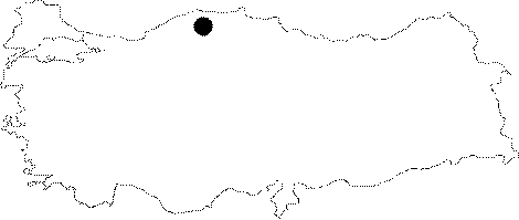
| Location: It is located at the Kokurdan Yaylasi Mevkii near the Kerte Village of Pinarbasi District. It can be reached after passing from the forest road which takes the way on the first right from the plain and climbs up; and then leaving the car in the second depressed area to continue toward the third depressed area in the forest. |
| Structural Properties and formation : Reached by car from the camping area; it was formed at the base of a blind valley within a dense forest. Although it is not active in summer; the current decorations on the wall indicates that it is highly active in winter. Its geological development continues as it is still active. |
| Research History: The BUMAK team; who visited the area in February 1996 upon notification about a -60 m vertical cave received from O. Ulkümen discovered the Cengelkuyu Sinkhole depending on a new information from the village of Kerte. A depth of -40 m was descended during that exploration; followed by -90 m during the survey of October 1996; and finally a siphon which was at -200 m; the deepest point; was reached during the survey of June 1997. No traverse was made in 1997 because of limitations in time. Although a major part of the cave was traversed during the survey of October 1998; exploration of a branch which was first noticed during the 1997 survey has not been finished yet. |
| Findings: |