|
|
||||
|
|
||||
|
Çikrikkapi Kuylucu |
||||
|
For cave maps and drawings please click on the picture... |
For photographs please click on the photo... |
|||
|
 |
|||
|
Type: |
Vertical Cave | |||
|
Altitude: |
760 m | |||
|
Depth: |
-166 m | |||
|
Length: |
350 m | |||
|
Region: |
Black Sea | |||
|
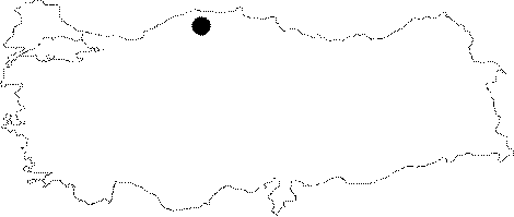
Province: |
Kastamonu | |||
|
District: |
Pinarbasi | |||
|
Village: |
Sümenler | |||
|
|
||||
 |
||||
| Location: It is very small with an area of 215 squaremeter extending between the Sorkun and Kapakli basins. The cave is very closed to the Sümenler Village; which is located in the basin. |
| Structural Properties and formation : Draining the Cikrikkapi Basin; it flows toward the north; and sinks where it meets a calcareous mass. Although it is not almost dry; it has insignificant flow. It is easily accessible for exploration even tough it is vertical; and the slide dropping into a -33 m lake has an interesting formation. Suitable for natural anchor; it ends up with a siphon encircled by mud at -166 m. |
| Research History: It was explored and mapped by BUMAK in 1986-87. |
| Findings: |