|
|
||||
|
|
||||
|
Çinarcik 2 |
||||
|
For cave maps and drawings please click on the picture... |
For photographs please click on the photo... |
|||
|
 |
|||
|
Type: |
Cave | |||
|
Altitude: |
280 m | |||
|
Depth: |
-3 m | |||
|
Length: |
7 m | |||
|
Region: |
Black Sea | |||
|
Province: |
Ordu | |||
|
District: |
Ünye | |||
|
Village: |
Çinarcik | |||
|
|
||||
 |
||||
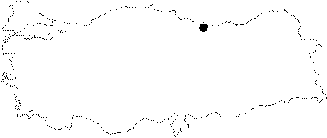
| Location: Located approximately 20 km southwest of Ünye in Ordu; it is on the western slope of Duduklu Stream that emties into Cura Brook. It is 350 m northeast of Cinarcik 1 cave. |
| Structural Properties and formation : Along with Çinarcik 1; and Çinarcik 3 they are located in a region deeply fragmented besides the Ceviz Stream; and Cura Brook which have large basins; and were suffocated due to alluvial deposits. Çinarcik 2 cave has an entrance at 280 m altitude; it is a sinkhole type developed; fossil cave. The height of the cave differs between 1.5 to 2.5 m; and its endpoint is 3 m below the entrance level. It is covered with debris and blocks inside. |
| Research History: It was researched by the Karst and Caves Unit of the Geological Studies Department of MTA General Directorate; and published in 2004. |
| Findings: |