|
|
||||
|
|
||||
|
Çinarcik 3 |
||||
|
For cave maps and drawings please click on the picture... |
For photographs please click on the photo... |
|||
|
 |
|||
|
Type: |
Cave | |||
|
Altitude: |
330 m | |||
|
Depth: |
-4 m | |||
|
Length: |
4 m | |||
|
Region: |
Black Sea | |||
|
Province: |
Ordu | |||
|
District: |
Ünye | |||
|
Village: |
Çinarcik | |||
|
|
||||
 |
||||
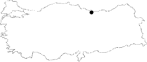
| Location: Çinarcik 1; Çinarcik 2; and Çinarcik 3 caves are located approximately 20 km southeast of Ünye in Ordu; between Çinarcik and Koruklu villages. Çinarcik 3 cave is 400 m southeast from Çinarcik 1. The entrance of the cave which is closer to Koruklu village; is facing Cura Brook. |
| Structural Properties and formation : Along with the Çinarcik 1; and Çinarcik 2 it is located in a region deeply fragmented besides the Ceviz Stream; and Cura Brook which have large basins; and were suffocated due to alluvial deposits. Çinarcik 3 which is located on the upper slope of the stream flowing in a deep bed and emptying into Cura Brook is a sinkhole type developed; pit shaped small cave. It is covered with debris and blocks inside. |
| Research History: It was researched by the Karst and Caves Un it of the Geological Studies Department of MTA General Directorate; and published in 2004. |
| Findings: |