|
|
||||
|
|
||||
|
Çimenlikuyu Magarasi |
||||
|
For cave maps and drawings please click on the picture... |
For photographs please click on the photo... |
|||
|
 |
|||
|
Type: |
Cave | |||
|
Altitude: |
1330 m | |||
|
Depth: |
-50.5 m | |||
|
Length: |
256 m | |||
|
Region: |
Central Anatolia | |||
|
Province: |
Karaman | |||
|
District: |
Merkez | |||
|
Village: |
Narlidere | |||
|
|
||||
 |
||||
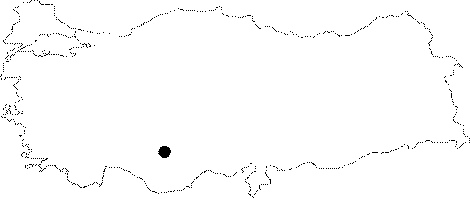
| Location: The cave is in a low plateau type region fractured by rivers emtying into the Konya Plain in the southeast of Karaman. It is situated on the southern slope of the Düdenönü Stream which is a branch of Duma Stream. Bogazoluk is located 3 km southwest; and Peyniri Cave is 7 km southwest of Çimenlikuyu Cave. |
| Structural Properties and formation : It is a passage type cave; which primarily expanded horizontally in NW-SE direction; then deepened inside the SE section. There is a space created by the subsurface stream flowing in NW-SE direction which remained suspending following the area was split by the Göksu River. Its ceiling collapsed; and a cave entrance was formed. Expansions developed in SE direction. The cave entrance is pit type; and at Ğ33m. The NW end is at Ğ46 m compared to the entrance level. On the other hand the SE end is at Ğ50.5 m. The basin of the cave which is covered with collapse dolines; has a width of 2 to 10 m; it is between 0.5 and 10 m high; it is poor in terms of dripstone formations except for the stalactites; stalagmites; dripstone ponds; wall and bacon rind type formations seen in the SE section. |
| Research History: It was researched by Geological Studies Department of MTA General Directorate; and published under the title Çimenlikuyu in 2005. |
| Findings: |