|
|
||||
|
|
||||
|
Çovurmatepe Kuylucu |
||||
|
For cave maps and drawings please click on the picture... |
For photographs please click on the photo... |
|||
|
 |
|||
|
Type: |
Horizontal Cave | |||
|
Altitude: |
830 m | |||
|
Depth: |
-34 m | |||
|
Length: |
80 m | |||
|
Region: |
Black Sea | |||
|
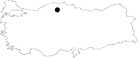
Province: |
Kastamonu | |||
|
District: |
Pinarbasi | |||
|
Village: |
Uzla | |||
|
|
||||
 |
||||
| The basin of Covurmatepe Kuylucu lies to the west of the Esekcukuru 1 Basin. It is the latest basin on the west. A creek which does not get dry even in July sinks into a cave on the northern end of the basin. It was mapped to the 4c standards by BUMAK in 1989. |
| Location: |
| Structural Properties and formation : |
| Research History: |
| Findings: |