|
|
||||
|
|
||||
|
Deliktas |
||||
|
For cave maps and drawings please click on the picture... |
For photographs please click on the photo... |
|||
|
 |
|||
|
Type: |
Horizontal Cave | |||
|
Altitude: |
280 m | |||
|
Depth: |
-7 m | |||
|
Length: |
5 m | |||
|
Region: |
Marmara | |||
|
Province: |
Balikesir | |||
|
District: |
Manyas | |||
|
Village: |
Deliktas | |||
|
|
||||
 |
||||
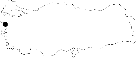
| Location: It is 500 m away from the Deliktas (Gerdeme) Village; which lies 25 km southwest of Manyas. It was formed like a natural bridge (ground bridge) over Asmali Dere; a branch of the Balya Brook flowing in a buried valley. It can be reached by the Manyas-Isiklar-Gerdeme motorway. |
| Structural Properties and formation : Being a younger cave which was formed within the Quaternary Period; it is included in the active; semi-active zone. With a continuous inflow in all seasons; Asmali Creek passes through the cave; close to the Deliktas Village; therefore; the cave houses water structures made by blocks and pebbles the creek conveyed (burnished surfaces; small pools). However; no decorations were found. Looking like a tunnel open at both ends; there is a 7 m level difference between the upper and lower entrances. The level of water increase as the flow increases during rainy seasons. |
| Research History: It was explored and mapped by MTA; and published in 1997. |
| Findings: |