|
|
||||
|
|
||||
|
Demirözü / Temirözü |
||||
|
For cave maps and drawings please click on the picture... |
For photographs please click on the photo... |
|||
|
 |
|||
|
Type: |
Horizontal Cave | |||
|
Altitude: |
m | |||
|
Depth: |
m | |||
|
Length: |
976 m | |||
|
Region: |
Central Anatolia | |||
|
Province: |
Ankara | |||
|
District: |
Haymana | |||
|
Village: |
Demirözü | |||
|
|
||||
 |
||||
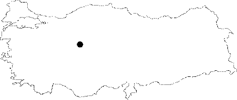
| Location: It lies within the boundaries of the Demirözü Village. The area where the cave is located is 35 km far from Haymana. It can be reached from the main square in Haymana by driving approximately 1 km on the road to Polatli; and turning left from the first bridge; and then taking the dirt road leading to Demirözü. The road directly leads to Demirözü after passing a few villages; and the cave is 4 km further from Demirözü on the same road. |
| Structural Properties and formation : With a horizontal entrance; it consists of several branches connected with the fossil main gallery. Through the final zone; there is a steep joint of about 30 m; which can only be descended by rope and SRT material. The descent leads to a hall; housing a bat colony. It ends up after a few successive halls. It is richly adorned with stalactites and stalagmites. The main structure is composed of stucked pebbles resembling mosaics and masses stucked with soil. Changing its physical structure due to collapses during the geological formation process; today it has characteristics of a fossil cave. Remains from prehistoric ages can be seen up to the zone where a cave-cistern is located. There is another depression of 15 m; above the entrance. Numerous stalactites and stalagmites can be seen along the galleries which become narrow and wide randomly. |
| Research History: The vicinity of Demirözü Village was first explored by S.A. Kansu in 1938. The report issued on behalf of TTK refers only to the name of the cave. The cave was first explored by K. Kökten in 1945. Later on; explored in 1952 by K. Lindberg; a biospeleologist; G. Otkün and R. Geldiay; a hydrobiologist; and then it was re-explored and mapped by MAD in 1987. |
| Findings: Used as a shelter in prehistoric ages; it also houses burial chambers from the Antique Age; grave steles in Latin and a water cistern; which was plastered by brick-dust. There are remains of graves and walls erected by terra cotta bricks and cutting stones as well as relief and inscripted stones. Those chambers have been constantly damaged because of illicit diggings. Also; bone specimens were collected from the various sections of the cave during explorations. B. Alpagut from DTCF indicated that one of these bones belongs to a young Ursus while M. Ozbek from the Anthropology Department of Hacettepe University proposed that one piece of bone belongs to the skull of a human being. |