|
|
||||
|
|
||||
|
Dingiragak |
||||
|
For cave maps and drawings please click on the picture... |
For photographs please click on the photo... |
|||
|
 |
|||
|
Type: |
Vertical Cave | |||
|
Altitude: |
1375 m | |||
|
Depth: |
-47 m | |||
|
Length: |
m | |||
|
Region: |
Central Anatolia | |||
|
Province: |
Kayseri | |||
|
District: |
Yahyali | |||
|
Village: |
Kapuzbasi | |||
|
|
||||
 |
||||
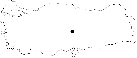
| It lies on the Kapuzbasi Uzunca Plateau in the Yahyali District of Kayseri. Located on a small hill next to the road; it starts with a hole only one person can pass through. It was explored by MAD in September 1998; and mapped to the BCRA 3c standards. |
| Location: |
| Structural Properties and formation : |
| Research History: |
| Findings: |