|
|
||||
|
|
||||
|
Dipsiz Obrugu |
||||
|
For cave maps and drawings please click on the picture... |
For photographs please click on the photo... |
|||
|
 |
|||
|
Type: |
Vertical Cave | |||
|
Altitude: |
m | |||
|
Depth: |
m | |||
|
Length: |
m | |||
|
Region: |
Mediterranean | |||
|
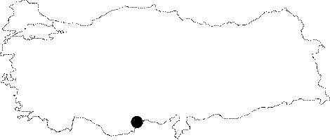
Province: |
Mersin | |||
|
District: |
Silifke | |||
|
Village: |
Hüseyinler | |||
|
|
||||
 |
||||
| It is located in a canyon to the northeast of the Asagi Quarter of the Hüseyinler Village. It is the deepest pothole in the region; reaching up to 88 m. It was explored by BUMAK in 1992; and mapped to the 1a standards. |
| Location: |
| Structural Properties and formation : |
| Research History: |
| Findings: |