|
|
||||
|
|
||||
|
Döngelyani Kuylucu |
||||
|
For cave maps and drawings please click on the picture... |
For photographs please click on the photo... |
|||
|
 |
|||
|
Type: |
Vertical Cave | |||
|
Altitude: |
m | |||
|
Depth: |
-195 m | |||
|
Length: |
530 m | |||
|
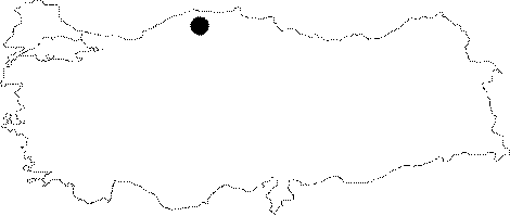
Region: |
Black Sea | |||
|
Province: |
Kastamonu | |||
|
District: |
Azdavay | |||
|
Village: |
Kazla | |||
|
|
||||
 |
||||
| Location: The plain area which is called Topmeydani can be reached by off-road cars through the Kazla Village from Pinarbasi. Without off-road cars; it can be reached after around 20-minute walk through a pathway. |
| Structural Properties and formation : It collects the water of the Döngelyani Basin; which lies to the east of Topmeydani and has an area of 0.593 squarekilometer. |
| Research History: Explored by BUMAK; it was mapped to the 3c standard in 1985. Re-explored in 1986-87; a branch near the entrance was traversed and added to the map. Its depth being unchanged; the length reached to 530 m by an addition of 20 m. |
| Findings: |