|
|
||||
|
|
||||
|
Durabey |
||||
|
For cave maps and drawings please click on the picture... |
For photographs please click on the photo... |
|||
|
 |
|||
|
Type: |
Horizontal Cave | |||
|
Altitude: |
m | |||
|
Depth: |
-18 m | |||
|
Length: |
230 m | |||
|
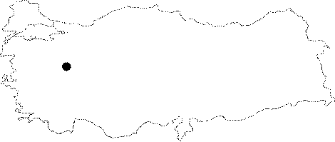
Region: |
Aegean | |||
|
Province: |
Kütahya | |||
|
District: |
Domaniç | |||
|
Village: |
||||
|
|
||||
 |
||||
| It lies 200 m down the flow of the mansion made of limestone granites on the left bank of the Carsamba Creek. It is a fossil cave. The walls are covered with a thin travertine layer. Although not frequent; it is adorned with stalactites; stalagmites and curtain decorations. It elongates along a joint. A block of rocks in the middle makes it difficult to pass. The roof gets lowered; shaped like a tunnel; and it ends up with a pile of clay. |
| Location: |
| Structural Properties and formation : |
| Research History: |
| Findings: |