|
|
||||
|
|
||||
|
Beyköy Düdeni |
||||
|
For cave maps and drawings please click on the picture... |
For photographs please click on the photo... |
|||
|
 |
|||
|
Type: |
Cave | |||
|
Altitude: |
1150 m | |||
|
Depth: |
m | |||
|
Length: |
462 m | |||
|
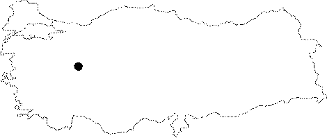
Region: |
Central Anatolia | |||
|
Province: |
Eskisehir | |||
|
District: |
Saricakaya | |||
|
Village: |
Beyyayla | |||
|
|
||||
 |
||||
| Location: Close to the Beyyayla Village; it is connected with the Düdensuyu Creek; which inflows through the mouth of the cave facing southeast; and outflows at the exit of the entrance facing northwest. |
| Structural Properties and formation : It is a horizontal and active system consisting of a single main branch. The gallery opened by the Düdensuyu Creek within the rocky block is very wide. The creek led to small lakes at random places. In seasons with abundant water; boat may be required to cross these lakes. It is poor in decorations. It has two interconnected entrances. It was developed horizontally within the Upper-Jura Lower-Cretaceous Bilecik limestones. Its structure characterized by meandrous and multi-aged formation is like a tunnel open at both ends. A village brook flows into the sinkhole; and resurges as a 8 m waterfall on the other end; constituting the start of the Düden Creek; which immediately after flows into a narrow and deep canyon valley. Inside the cave; there are small and shallow lakes and dripstone decorations. It is an active cave; which still continues its formation. |
| Research History: It was explored by AMAG in 1991. Also, it was explored by MTA; and its map and other features were published in 2001. |
| Findings: Large colonies of bats inhabit the cave. Almost all zones are inhabited by bats; and the number of guanobias living in their droppings in dry sections are increased accordingly. |