|
|
||||
|
|
||||
|
Erçek |
||||
|
For cave maps and drawings please click on the picture... |
For photographs please click on the photo... |
|||
|
 |
|||
|
Type: |
Horizontal Cave | |||
|
Altitude: |
308 m | |||
|
Depth: |
-26;+24.5 m | |||
|
Length: |
890 m | |||
|
Region: |
Black Sea | |||
|
Province: |
Zonguldak | |||
|
District: |
Merkez | |||
|
Village: |
Erçek | |||
|
|
||||
 |
||||
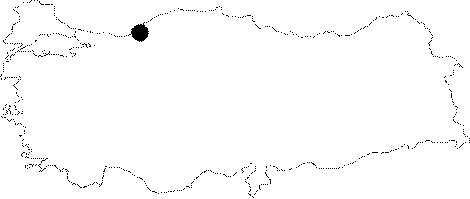
| Location: It lies to southeast of the Ercek Quarter; located at 8th km of the Zonguldak-Ankara motorway. It developed on the edge of an uvala; very close to the Tasagil Hill. A 15 minute walk leads to the cave through the pathway splitting to left 1 km after the Ercek Quarter. |
| Structural Properties and formation : It is a horizontally formed active/semi-active cave. It consists of two interconnected parts. The fossil gallery is full with thick pebble and sand deposits; which mostly reach to the ceiling. Also; two natural dripstone bridges make it very hard to pass through. Furthermore; stalactites; stalagmites; wall dripstones and helictites are frequent. |
| Research History: It was explored and mapped by MTA. |
| Findings: Bats were seen in the fossil gallery. |