|
|
||||
|
|
||||
|
Esentepe |
||||
|
For cave maps and drawings please click on the picture... |
For photographs please click on the photo... |
|||
|
 |
|||
|
Type: |
Cave | |||
|
Altitude: |
53 m | |||
|
Depth: |
-50 m | |||
|
Length: |
201 m | |||
|
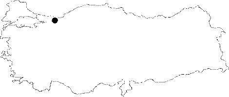
Region: |
Marmara | |||
|
Province: |
Sakarya | |||
|
District: |
Karasu | |||
|
Village: |
Dariçayiri | |||
|
|
||||
 |
||||
| Location: It developed 500 m northeast of the Harmancik Cave; just east of the Sakarya River near the delta. |
| Structural Properties and formation : It was developed at the Çakraz Formation which consists of the aged sandstone; pebble; and mudstones; and at the crossing point of the Akveren Formation or Devretkaya Limestones; which start as yellow; white; greyish; green; partially red; thin/mid/thick layered; sandstone; pebble; and limestone crumbs; then continue mostly as clay limestone marn. Esentepe which is at 105 m altitude is a NE-SW (towards Harmancik Cave) developed; sinkhole type; fossil cave. It bears the shapes and formations that represent a multi-period development; and measures 201 m long; and the last end is at Ğ54.5 m from the entrance. Esentepe Cave was continues either in the shape of stairs; or has a declination in a certain angle; it is 0.5-6 m wide; 0.5-10 m high; and it is filled with dripstones (stalactites; stalagmites; columns; draperies; and wall dripstones). Additionally; its basin is densely filled with soil; sand; pebbles; debris; and large blocks. There is a certain water inflow through the entrance during precipitation; therefore contains shallow ponds; and a siphon at the end section. It is an active/half-active cave. |
| Research History: It was researched by the Geological Studies Department of MTA General Directorate; and published in 2002. |
| Findings: Cave; and there are no life forms other than the bats in the dry sections; and the cave flies at the entrance. |