|
|
||||
|
|
||||
|
Eski Köyyeri |
||||
|
For cave maps and drawings please click on the picture... |
For photographs please click on the photo... |
|||
|
 |
|||
|
Type: |
Cave | |||
|
Altitude: |
m | |||
|
Depth: |
-12 m | |||
|
Length: |
50 m | |||
|
Region: |
Marmara | |||
|
Province: |
Istanbul | |||
|
District: |
Sile | |||
|
Village: |
Sortulu | |||
|
|
||||
 |
||||
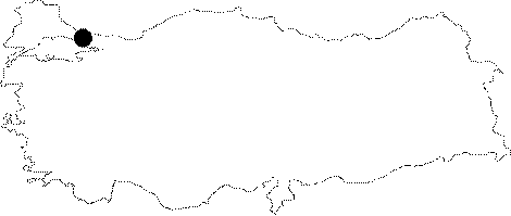
| Eski Koyyeri Cave located in southeast of Sortullu Village in 1km of distance; in 150 m south of the road between Sortullu and Hacili; in 29 km southeast of Sile. Known by villagers cave was firstly mapped by the team. It lies within the triassic limestones; inclining 10 degrees to south. Situated in plateau called as "Goksu - Dikenli Part" of Teke Plateau by Ertek, especially the part between the villages of Hacili - Sevisli - Obeyli was suggested to have a developed karstification both in surface and in depth [Ertek 1995]. The mouth corresponds to a sinkhole; therefore the crack at the mouth is closed by blocks. The entrance is a steep descent in 5 m and its base is covered by depressed rocks, edged material and brown soil. Then cave takes the form of gallery elongating northward. The ceiling of the 50 m-main gallery is adorned with stalactites. Both dripping and the development of stalactites continue. Recrystallization also can be traced on the walls. Millipedes; cirrus and spiders were seen. It is a dry cave. |
| Location: |
| Structural Properties and formation : |
| Research History: |
| Findings: |