|
|
||||
|
|
||||
|
Findik |
||||
|
For cave maps and drawings please click on the picture... |
For photographs please click on the photo... |
|||
|
 |
|||
|
Type: |
Horizontal Cave | |||
|
Altitude: |
175 m | |||
|
Depth: |
+12 m | |||
|
Length: |
160 m | |||
|
Region: |
Black Sea | |||
|
Province: |
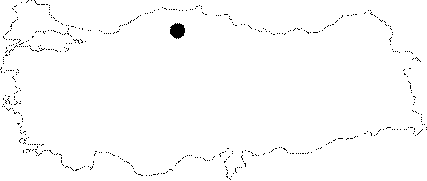
Kastamonu | |||
|
District: |
Cide | |||
|
Village: |
Gideros | |||
|
|
||||
 |
||||
| It is located near the Gideros Village. The vicinity of Cide was explored in 1990 by an organization of a British team and LUSS under the guidance of N. Güldal of MTA. A team consisting of cavers from the Trent Polytechnic and Sheffield Universities conducted expeditions around Cide; explored and mapped the caves. |
| Location: |
| Structural Properties and formation : |
| Research History: |
| Findings: |