|
|
||||
|
|
||||
|
Gavurini |
||||
|
For cave maps and drawings please click on the picture... |
For photographs please click on the photo... |
|||
|
 |
|||
|
Type: |
Horizontal Cave | |||
|
Altitude: |
780 m | |||
|
Depth: |
-20.5 m | |||
|
Length: |
504 m | |||
|
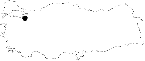
Region: |
Marmara | |||
|
Province: |
Bursa | |||
|
District: |
Keles | |||
|
Village: |
Gelemiç | |||
|
|
||||
 |
||||
| Location: It is located on a high karstic plateau; deeply rifted with canyon valleys by the Kocasu Creek and its branches; near the Gelemic Village. A 5 km stabilized road leads to the beginning of the canyon. The cave; which is 300 m high from the base of valley can be reached by a 45 minute walk through a steep slope. |
| Structural Properties and formation : It was fossilized; being abandoned as a result of sudden sink of the Kocasu Creek. It consists of three halls; which are interconnected with narrow passages. Driptone decorations are very intense in these halls and passages. Located at vadose zone; it is a fossil and dry cave; which halted its development. |
| Research History: It was explored and mapped MTA; and published in 1997. It was visited by BUMAK in 1999. |
| Findings: Colonies of bats inhabit the middle and final halls. |