|
|
||||
|
|
||||
|
Göller |
||||
|
For cave maps and drawings please click on the picture... |
For photographs please click on the photo... |
|||
|
 |
|||
|
Type: |
Cave | |||
|
Altitude: |
2095 m | |||
|
Depth: |
-45 m | |||
|
Length: |
158 m | |||
|
Region: |
Mediterranean | |||
|
Province: |
Mersin | |||
|
District: |
Erdemli | |||
|
Village: |
Sorgun | |||
|
|
||||
 |
||||
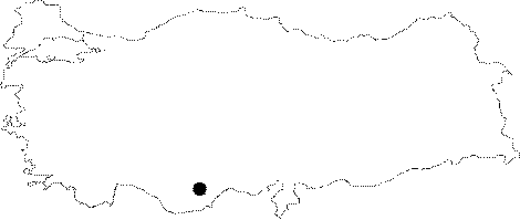
| Location: It is located on a 2095 m high hill; 8 km to north of Yedi Obruk at the Cukuryurt Mevkii of the Sorgun Village. |
| Structural Properties and formation : Developed within the Miocene limestones; it was probably formed due to the collapse of an underground cavity. The Göller Cave consists of three halls interconnected with small and narrow passages. In order to reach to the bottom of the cave which starts with a 40 m wide entrance; 30 m should be descended by rope into a 140 m long and 70 m wide huge hall. The 3 m wide lake on the south of the big hall is being formed as a result of leakage of water. |
| Research History: Explored by the Cavers Union of Izmir in 1996; it was mapped to the BCRA 3c standard. |
| Findings: |