|
|
||||
|
|
||||
|
Gölpinar Düdeni |
||||
|
For cave maps and drawings please click on the picture... |
For photographs please click on the photo... |
|||
|
 |
|||
|
Type: |
Cave | |||
|
Altitude: |
1680 m | |||
|
Depth: |
-17 m | |||
|
Length: |
460 m | |||
|
Region: |
Mediterranean | |||
|
Province: |
Mersin | |||
|
District: |
Arslanköy | |||
|
Village: |
||||
|
|
||||
 |
||||
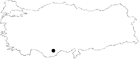
| Location: It is located at the Gölpinari Mevkii; which is 1700 m high looking like a plateau near the Arslan Village. |
| Structural Properties and formation : The region completely consists of the Miocene aged fractured and jointed limestones. It starts with a 2 m wide rounded entrance; and continues by following meanders at random places with an almost flat incline; and after 285 m the first gallery ends up. Here to the left starts a 65 m long sub-gallery with similar characteristics. |
| Research History: Explored by the Cavers Union of Izmir in 1996; it was mapped to the BCRA 3c standard. |
| Findings: The most common fossils found in this region are Gastropods and Shells |