|
|
||||
|
|
||||
|
Gurbettepe Kuylucu |
||||
|
For cave maps and drawings please click on the picture... |
For photographs please click on the photo... |
|||
|
 |
|||
|
Type: |
Vertical Cave | |||
|
Altitude: |
850 m | |||
|
Depth: |
-243 m | |||
|
Length: |
710 m | |||
|
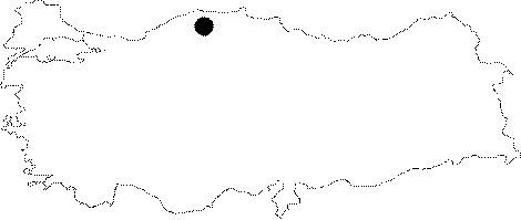
Region: |
Black Sea | |||
|
Province: |
Kastamonu | |||
|
District: |
Pinarbasi | |||
|
Village: |
Dizdarli | |||
|
|
||||
 |
||||
| Location: It lies to the southwest of the Sorkun Sinkhole; near the Dizdarli Village. |
| Structural Properties and formation : The giant chimney falling down to left; 100 m further from the entrance is probably an old mouth of an entrance where the stream sinked into. There are small fossil caves near the upper mouth of the chimney. The light penetrating from the stately entrance and chimney fills into the wide entrance hall; and diminishes as moved further. Through the end of the hall a narrow tunnel is reached only entered by leaning. A 1-1.5 m thick layer of clay; which can be seen on the right side before entering into the tunnel; is an indication of the fact that it is not capable of draining the water of the tunnel during rainy periods. In such periods; the entrance hall becomes a lake; which in turn clarifies how these big logs could have advanced through the tunnel. After crossing the tunnel; which has a knee-deep water; is reached the first descent which requires rigging. The Pebbled Room under the descent joins with another branch other than the entrance hall. There are watermelon-size rounded stones in the Pebbled Room. The cave which has descents requiring rigging; many whirlpools can be seen as moved farther. It ends up at -243 m with a 7 m long siphon. However; it is also indicated in the report that there are two more branches at -142 m and -225 m; which have not been explored yet. |
| Research History: Explored by BUMAK in 1988; it was mapped to the BCRA 3c standard. |
| Findings: |