|
|
||||
|
|
||||
|
Gümüsbalta |
||||
|
For cave maps and drawings please click on the picture... |
For photographs please click on the photo... |
|||
|
 |
|||
|
Type: |
Vertical Cave | |||
|
Altitude: |
2240 m | |||
|
Depth: |
-50 m | |||
|
Length: |
m | |||
|
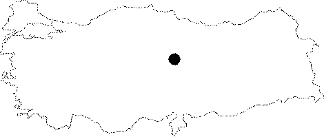
Region: |
Central Anatolia | |||
|
Province: |
Sivas | |||
|
District: |
Sarkisla | |||
|
Village: |
Bulhasan | |||
|
|
||||
 |
||||
| It was explored and mapped by MAD in 1989. It is also known as "Sakcalik". |
| Location: |
| Structural Properties and formation : |
| Research History: |
| Findings: |