|
|
||||
|
|
||||
|
Ilgarini |
||||
|
For cave maps and drawings please click on the picture... |
For photographs please click on the photo... |
|||
|
 |
|||
|
Type: |
Horizontal Cave | |||
|
Altitude: |
1150 m | |||
|
Depth: |
-250 m | |||
|
Length: |
858 m | |||
|
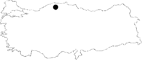
Region: |
Black Sea | |||
|
Province: |
Kastamonu | |||
|
District: |
Cide | |||
|
Village: |
Derebucak | |||
|
|
||||
 |
||||
| Location: A 5 hour walk inside the forest toward the north leads to the cave after reaching to the Topmeydani Mevkii from the Sümenler Village of Pinarbasi. It is difficult to locate the cave without guidance of local people. |
| Structural Properties and formation : It consists of two parts; one fossil horizontal part and the other active vertical part. |
| Research History: The first excursion was carried out by BUMAK in 1982; and it was traversed as 858 m long and -250 m deep; and mapped to the 3c standard. In 1990; LUSS; the British team visited the cave under the guidance of N. Güldali of MTA and mapped it to the BCRA 5b standards. The total length was reported to be 1131 m and depth 240 m. |
| Findings: There are remains of houses and cisterns probably from the Roman and Byzantine Periods in the entrance zone. And; there is a road consisting of 24 spirals paved by human-made stones at the beginning of the vertical section. During the explorations carried out in 1990; it was found that the wall remains from a church and human skeletons considered to date back to the Byzantine and Roman Periods by J. Holland of the LUSS team have been scattered into the cave. BUMAK reports that there is a ruin of about 10 dwellings in the entrance zone; probably from the Byzantine Period. It is also stated that there is a hall at inmost parts where there are a church and tombs descended by a bricklaid pathway. |