|
|
||||
|
|
||||
|
Inalti |
||||
|
For cave maps and drawings please click on the picture... |
For photographs please click on the photo... |
|||
|
 |
|||
|
Type: |
Horizontal Cave | |||
|
Altitude: |
340 m | |||
|
Depth: |
-12 m | |||
|
Length: |
210 m | |||
|
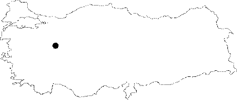
Region: |
Marmara | |||
|
Province: |
Bilecik | |||
|
District: |
Sögüt | |||
|
Village: |
Hamitabat | |||
|
|
||||
 |
||||
| Location: It lies on the upper eastern slope of the Kaya Hill; facing Sakarya River; 1.5 km northwest of the Hamitabat Village. It can be reached from the Sögüt-Hamitabat road. A road leads near to the pumping station for the irrigation on the shore of the Sakarya River; and then a half an hour climbing over the steep slope above the station leads to the cave. |
| Structural Properties and formation : It was formed within the Jura Lower Cretaceous aged Bilecik limestones. It is located on the upper part of the 300-350 m deep strait carved by the Sakarya River on the Jura limestones. The roof height ranges from 1 to 8 m. |
| Research History: It was explored and mapped by MTA; and published in 1997. |
| Findings: Abundant number of bats living in colonies were seen in the final zone. |