|
|
||||
|
|
||||
|
Inatlar |
||||
|
For cave maps and drawings please click on the picture... |
For photographs please click on the photo... |
|||
|
 |
|||
|
Type: |
Vertical Cave | |||
|
Altitude: |
160 m | |||
|
Depth: |
-24 m | |||
|
Length: |
37 m | |||
|
Region: |
Marmara | |||
|
Province: |
Bursa | |||
|
District: |
Mustafakemalpasa | |||
|
Village: |
Inatlar | |||
|
|
||||
 |
||||
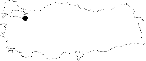
| Location: It lies 750 m west of the Inatlar Village. It was developed at the middle level of the strait connecting the village to the plain. The road between Mustafakemalpasa and Inatlar passes right over the cave. |
| Structural Properties and formation : It was formed within the Jura Lower Cretaceous limestones. It is a fossilized sinkhole; 30-40 m high from the bed of the valley. It is dry in all seasons. |
| Research History: It was explored and mapped by MTA; and published in 1997. |
| Findings: |