|
|
||||
|
|
||||
|
Inlitarla |
||||
|
For cave maps and drawings please click on the picture... |
For photographs please click on the photo... |
|||
|
 |
|||
|
Type: |
Vertical Cave | |||
|
Altitude: |
395 m | |||
|
Depth: |
-37 m | |||
|
Length: |
50 m | |||
|
Region: |
Marmara | |||
|
Province: |
Bursa | |||
|
District: |
Nilüfer | |||
|
Village: |
Maksempinari | |||
|
|
||||
 |
||||
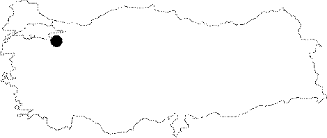
| Location: It lies to the east of the Kizilcukur Hill before Maksempinar; 2 km east of the Maksempinar Town which is 25 km west of Bursa. The Bursa-Maksempinar motorway passes nearby the cave. |
| Structural Properties and formation : It is located at the bottom of a doline in the karstic plateau between Kurudere and Incevizdere; which drain the water into the Bursa plain. The bottom is full of blocks; debris and sand deposits. In rainy seasons; there is an intense inflow into the cave. The oxygen rate which increases at the level of -16 m between the entrance and big descent causes the carbide lamps to become abnormally bright; resulting in deterioration; which is not the case at the bottom. |
| Research History: It was explored and mapped by MTA; and published in 1997. |
| Findings: |