|
|
||||
|
|
||||
|
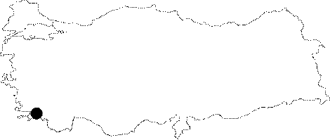
Inönü |
||||
|
For cave maps and drawings please click on the picture... |
For photographs please click on the photo... |
|||
|
 |
|||
|
Type: |
Cave | |||
|
Altitude: |
600 m | |||
|
Depth: |
21 m | |||
|
Length: |
49 m | |||
|
Region: |
Black Sea | |||
|
Province: |
Kastamonu | |||
|
District: |
Pinarbasi | |||
|
Village: |
Güvercinlik | |||
|
|
||||
 |
||||
| It lies to the south of the road running to Azdavay; 3-4 km east of Pinarbasi. It has a very large elliptical entrance with a height of 6 m and width of 3-4 m. 20 m after the entrance is reached to a small gallery. In the gallery of the final zone; there is a catwalk in the ceiling with an air currency; but not allowing anyone to pass. Although it is obvious that it continues; it is considered not to last long by the researchers. In addition to that; there are several branches around the entrance. It was explored by a team of British cavers. |
| Location: |
| Structural Properties and formation : |
| Research History: |
| Findings: |