|
|
||||
|
|
||||
|
Isli |
||||
|
For cave maps and drawings please click on the picture... |
For photographs please click on the photo... |
|||
|
 |
|||
|
Type: |
Vertical Cave | |||
|
Altitude: |
300 m | |||
|
Depth: |
+1 m | |||
|
Length: |
32 m | |||
|
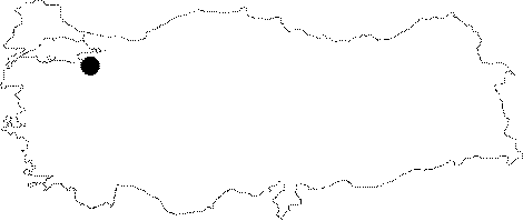
Region: |
Marmara | |||
|
Province: |
Bursa | |||
|
District: |
Yenisehir | |||
|
Village: |
Incirli | |||
|
|
||||
 |
||||
| Location: It lies on the right slope of the Incirli Creek; 2 km south of the Incirli Village. The ruins of the former Incirli Village lie just in front of the cave. The road passing through the Incirli Village from Yenisehir to Bilecik leads near to the cave. |
| Structural Properties and formation : It was formed within the Jura Lower Cretaceous Bilecik limestones. Today being completely fossilized; it has a very thick cultural deposit and mass of debris. |
| Research History: It was explored and mapped by MTA; and published in 1997. |
| Findings: |