|
|
||||
|
|
||||
|
Kadiharmani Kokurdani |
||||
|
For cave maps and drawings please click on the picture... |
For photographs please click on the photo... |
|||
|
 |
|||
|
Type: |
Vertical Cave | |||
|
Altitude: |
920 m | |||
|
Depth: |
-147 m | |||
|
Length: |
484 m | |||
|
Region: |
Black Sea | |||
|
Province: |
Bartin | |||
|
District: |
Ulus | |||
|
Village: |
Aliçli | |||
|
|
||||
 |
||||
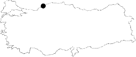
| It is situated under a huge depression area in 5 km south of Koklu Village in Alicli Village in Ulus; in the province of Bartin. The mouth of the cave with a diameter in 30 m and a deepness in 60 m ends up with an active gallery with stalactites and stalagmites and surrounded by a travertine walls. Through the passage under these walls, there seen a main gallery. Descending gradually main gallery ends up with a siphon. |
| Location: |
| Structural Properties and formation : |
| Research History: |
| Findings: |