|
|
||||
|
|
||||
|
Kafakiran Obrugu |
||||
|
For cave maps and drawings please click on the picture... |
For photographs please click on the photo... |
|||
|
 |
|||
|
Type: |
Vertical Cave | |||
|
Altitude: |
m | |||
|
Depth: |
-41 m | |||
|
Length: |
m | |||
|
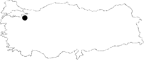
Region: |
Marmara | |||
|
Province: |
Bursa | |||
|
District: |
Mustafakemalpasa | |||
|
Village: |
Doganalan | |||
|
|
||||
 |
||||
| It is like a narrow shaft. The stones collapsed from the walls made the exploration difficult. It was explored by BUMAK in 1981; and mapped to the BCRA 2a standards. |
| Location: |
| Structural Properties and formation : |
| Research History: |
| Findings: |